Kłomnice
Appearance
Kłomnice | |
|---|---|
Village | |
 Church of Saint Martin | |
| Coordinates: 50°55′N 19°21′E / 50.917°N 19.350°E | |
| Country | |
| Voivodeship | Silesian |
| County | Częstochowa County |
| Gmina | Kłomnice |
| Population | |
• Total | 2,802 |
| Time zone | UTC+1 (CET) |
| • Summer (DST) | UTC+2 (CEST) |
| Vehicle registration | SCZ |
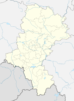
Kłomnice [kwɔmˈnit͡sɛ] is a village in Częstochowa County, Silesian Voivodeship, in southern Poland. It is the seat of the gmina (administrative district) called Gmina Kłomnice.[1] It lies approximately 21 kilometres (13 mi) north-east of Częstochowa and 78 km (48 mi) north of the regional capital Katowice.
During World War II the village was occupied by Germany. In September 1944, during the Warsaw Uprising, the Germans deported 2,000 Varsovians from the Dulag 121 camp in Pruszków, where they were initially imprisoned, to Kłomnice.[2] Those Poles were mainly old people, ill people and women with children.[2]
Gallery
-
18th-century belfry
-
Grave of Polish soldiers killed during the German invasion of Poland (World War II)
-
Clinic
-
Pond in Kłomnice
References
- ^ "Central Statistical Office (GUS) - TERYT (National Register of Territorial Land Apportionment Journal)" (in Polish). 2008-06-01.
- ^ a b "Transporty z obozu Dulag 121". Muzeum Dulag 121 (in Polish). Retrieved 6 September 2021.
External links
- Jewish Community in Kłomnice on Virtual Shtetl


