Erfjorden
Appearance
| Erfjorden | |
|---|---|
 View of the fjord and the Erfjord Bridge | |
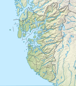
Location in Rogaland county | |
| Location | Rogaland county, Norway |
| Coordinates | 59°18′38″N 6°10′31″E / 59.3106°N 6.1753°E |
| Basin countries | Norway |
| Max. length | 16 kilometres (9.9 mi) |
Erfjorden is a fjord in the municipalities Suldal and Hjelmeland in Rogaland county, Norway. The 16-kilometre (9.9 mi) long fjord begins at the small village of Tysse in Suldal and heads south past the village of Hålandsosen before making a sharp turn to the west before emptying into the larger Nedstrandsfjorden. The Erfjord Bridge crosses the fjord, just north of Hålandsosen. The innermost part of the fjord (north of the bridge) is sometimes referred to as the Tyssefjorden.[1][2]
See also
References
- ^ Godal, Anne Marit (ed.). "Erfjorden". Store norske leksikon (in Norwegian). Norsk nettleksikon. Retrieved 13 May 2013.
- ^ Evensen, Knut Harald, ed. (2010). NAF Veibok 2010-2012 (in Norwegian) (29th ed.). Oslo: Norges Automobil-Forbund. p. 24–25.

