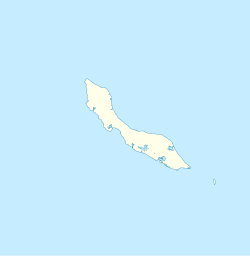
Saliña, Curaçao
Appearance
Saliña | |
|---|---|
| Coordinates: 12°6′19″N 68°54′12″W / 12.10528°N 68.90333°W | |
| State | Kingdom of the Netherlands |
| Country | Curaçao |
Saliña is a residential area in southeast Curaçao located to the east of the capital, Willemstad. It is one of the primary shopping districts on the island with many retail stores, restaurants, cafes, banks and a mall. Its main road heads towards the east into the Caracasbaaiweg, which runs to the Caracas Bay and the Jan Thiel Beach with several major resorts.
References
- "Salinja and Saliña Galleries". Willemstad, Curaçao: Curaçao Tourism Board. Retrieved September 24, 2015.

