Tanoudert
Appearance
Tanoudert | |
|---|---|
| Coordinates: 20°13′N 16°13′W / 20.217°N 16.217°W | |
| Country | |
| Region | Dakhlet Nouadhibou |
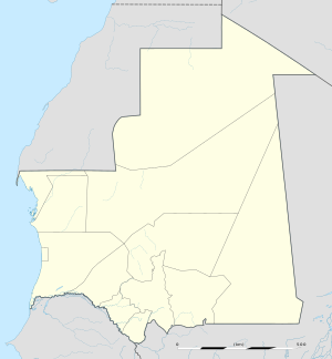
Tanoudert is a coastal town in Mauritania. It is located in the Dakhlet Nouadhibou region and forms a part of the Banc d'Arguin National Park. It is situated to a homonymous bay lying to the west and further west is Cape Tagarit (Cap-Tagair).
Nearby towns and villages include Cansado (110 km), Bir Gandus, Tichla, Akjoujt and Iouik (43 km), further south is the town of Arkeiss.
External links

