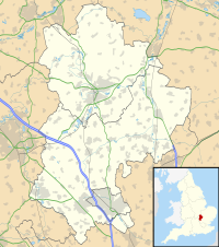
Etonbury Castle
Appearance
| Etonbury Castle | |
|---|---|
| Bedfordshire | |
| Coordinates | 52°01′36″N 0°15′51″W / 52.02672°N 0.26403°W |
| Grid reference | grid reference TL183445 |
| Type | Castle |
| Site information | |
| Condition | Earthworks |
Etonbury Castle was a castle in the town of Arlesey, located near the road to Baldock, in the county of Bedfordshire, England (grid reference TL192379).
An ancient timber castle, attributed to the Danes, Etonbury Castle had a ringwork and one or two baileys.
The site was destroyed by a railway leading through it. Only cropmarks and some earthworks remain.
See also
External links

