Santo Cristo, Rio de Janeiro
Appearance
Santo Cristo | |
|---|---|
Neighborhood | |
 | |
| Coordinates: 22°54′33″S 43°12′18″W / 22.90917°S 43.20500°W | |
| Country | |
| State | Rio de Janeiro (RJ) |
| Municipality/City | Rio de Janeiro |
| Zone | Centro |
| Area | |
• Total | 168.47 ha (416.30 acres) |
| Population (2010) | |
• Total | 12,330 |
| • Density | 7,300/km2 (19,000/sq mi) |
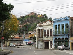
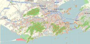
Santo Cristo is a neighborhood in Rio de Janeiro, Brazil.[1] The neighbourhood is named after the Catholic church Santo Cristo dos Milagres ("Holy Christ of Miracles") situated in the port area.
References
- ^ "Bairro: Santo Cristo". Prefeitura da Cidade do Rio de Janeiro. Retrieved 18 November 2014.


