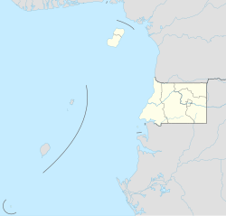
San Antonio de Ureca
Appearance
San Antonio de Ureca | |
|---|---|
Village | |
| Coordinates: 3°16′N 8°31′E / 3.267°N 8.517°E | |
| Country | |
| Province | Bioko Sur |
| Elevation | 186 m (610 ft) |
| Time zone | UTC+1 (WAT) |
| Climate | Am |
San Antonio de Ureca, also known as Ureka or Ureca is a village in Bioko Sur, Equatorial Guinea, south of Malabo on the island of Bioko. The town of Ureka is included among the wettest areas in the world; it receives about 10,450 millimeters (418 ins) of rainfall annually. It is the wettest place in Africa.[1]
References
- ^ A primer of conservation genetics. Cambridge University Press. 2004. ISBN 0-521-53827-0.
{{cite book}}: Unknown parameter|authors=ignored (help)


