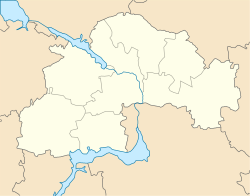
Solone
Solone
Солоне | |
|---|---|
Urban-type settlement | |
| Coordinates: 48°12′00″N 34°51′45″E / 48.20000°N 34.86250°E | |
| Country | Ukraine |
| Oblast | Dnipropetrovsk Oblast |
| Raion | Solone Raion |
| Population (2017) | |
| • Total | 7,633[1] |
| Time zone | UTC+2 (EET) |
| • Summer (DST) | UTC+3 (EEST) |
Solone (Ukrainian: Солоне; Russian: Солёное) is an urban-type settlement in Dnipropetrovsk Oblast in Ukraine and the administrative center of Solone Raion. Population: 7,633 (2017 est.)[1]
Solone is located on both banks of the Solonenka River, a right tributary of the Mokra Sura River, itself a right tributary of the Dnieper.
Economy
Transportation
Solone has access to the Highway M04 connecting Dnipro with Kryvyi Rih, as well as to the Highway H08 connecting Dnipro with Zaporizhia.
The closest railway station is in the village of Nadiivka, on the railway connecting Dnipro and Apostolove.
References
- ^ a b "Чисельність наявного населення України (Actual population of Ukraine)" (in Ukrainian). State Statistics Service of Ukraine. Retrieved 26 August 2017.


