San Tin station
Appearance
| Proposed MTR rapid transit station | ||||||||||||
| General information | ||||||||||||
| Location | San Tin Yuen Long District, Hong Kong | |||||||||||
| Owned by | KCR Corporation | |||||||||||
| Operated by | MTR Corporation | |||||||||||
| Line(s) | ||||||||||||
| Platforms | 2 (2 side platforms) | |||||||||||
| Tracks | 2 | |||||||||||
| Construction | ||||||||||||
| Structure type | Elevated | |||||||||||
| Other information | ||||||||||||
| Station code | SAT | |||||||||||
| Services | ||||||||||||
| ||||||||||||
| ||||||||||||
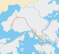
San Tin (Chinese: 新田) is a proposed station on the Northern Link of the MTR in Hong Kong. The station will be situated at San Tin, an undeveloped area located in Yuen Long District, New Territories.
There were originally no stations planned on the main section of the Northern Link, between Kam Sheung Road and Kwu Tung/Lok Ma Chau, but three stations, including San Tin, will be built on this section provided that significant development can be seen in the surrounding area. As of 2012, there are still no construction plans for the station, although the Yuen Long District Council has pressed the government to construct the station "as soon as possible".[1]
Station vicinity
References
- ^ "Summary of Discussion Items - The 5th Meeting of the Yuen Long District Council in 2012" (PDF). Yuen Long: Yuen Long District Council. 28 June 2012. Retrieved 17 August 2014.
22°30′01″N 114°04′33″E / 22.5004°N 114.0758°E

