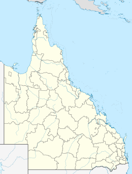
Sunter Island
Appearance
| Geography | |
|---|---|
| Location | Pacific Ocean |
| Coordinates | 12°46′52″S 143°24′40″E / 12.781°S 143.411°E |
| Area | 1 ha (2.5 acres) |
| Administration | |
| State | Queensland |
Sunter Island is an island in the Aboriginal Shire of Lockhart River, Queensland, Australia.[1]
Geography
It is part of the Great Barrier Reef Marine Park in Lloyd Bay between Lockhart River and Cape Direction, Queensland. It's approximately 0.01 square kilometers in size.[2]
References
- ^ "Sunter Island – island in the Aboriginal Shire of Lockhart River (entry 32865)". Queensland Place Names. Queensland Government. Retrieved 17 November 2018.
- ^ "Map of Sunter Island, QLD".

