Mayfield Canyon
Appearance
| Mayfield Canyon | |
|---|---|
| Floor elevation | 5,347 ft (1,630 m)[1] |
| Geography | |
| Location | Inyo |
| Coordinates | 37°26′48″N 118°38′14″W / 37.44667°N 118.63722°W |
| Topo map | Mount Morgan, CA. |
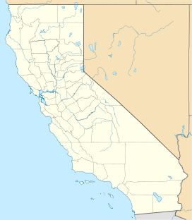
Mayfield Canyon, a canyon northwest of the town of Bishop in Inyo County, California.
It was the site of the Battle of Mayfield Canyon in the Owens Valley Indian War. During the battle Colonel William Mayfield, leader of the Owens Valley settler militia was killed. His name was given to the canyon.

