Businga
Appearance
Businga | |
|---|---|
Commune | |
| Coordinates: 3°20′23″N 20°52′12″E / 3.33972°N 20.87000°E | |
| Country | |
| Province | Nord-Ubangi |
| Territory | Businga |
| Population (2009) | |
| • Total | 32,584 |
| Time zone | UTC+1 (West Africa Time) |
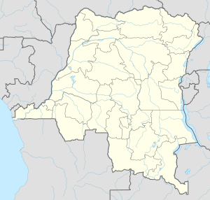
Businga is a town in Nord-Ubangi Province of north-western Democratic Republic of the Congo. It is the administrative center of the territory of the same name. In 2009 it had an estimated population of 32,584.[1]
Topography
Businga is located on the Mongala River, approximately 120 miles northeast of its confluence with the Congo River. 6 miles further to the east, the Mongala river bifurcates into the Ebola river to the north - the namesake of the deadly Ebola virus.
References
- ^ "Congo (Dem. Rep.): largest cities and towns and statistics of their population". World Gazetteer. Archived from the original on May 22, 2011. Retrieved January 21, 2009.

