Olst railway station
Appearance
Olst | |||||||||||
|---|---|---|---|---|---|---|---|---|---|---|---|
| General information | |||||||||||
| Location | Netherlands | ||||||||||
| Coordinates | 52°20′06″N 6°06′47″E / 52.33500°N 6.11306°E | ||||||||||
| Line(s) | Arnhem–Leeuwarden railway | ||||||||||
| Services | |||||||||||
| |||||||||||
| |||||||||||
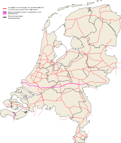
Olst is a railway station located in Olst, Olst-Wijhe, the Netherlands. The station was opened on 1 October 1866 and is located on the Deventer - Zwolle section of the Arnhem–Leeuwarden railway. The train services are operated by Nederlandse Spoorwegen. The station lies in the centre of Olst. The station was closed between 15 May 1936 and 1 June 1940.
Train services
As of 11 December 2016[update], the following train services call at this station:
- 2× per hour express Intercity service: Zwolle - Deventer - Arnhem - Nijmegen - 's-Hertogenbosch - Roosendaal
Bus service
There is a bus stop near the station on the Jan Schamhartstraat called Centrum.
- 161 - Deventer - Diepenveen - Boskamp - Olst - Den Nul -Wijhe - Windesheim - Ittersum - Zwolle
References
External links
- NS website (in Dutch)
- Dutch Public Transport journey planner (in Dutch)

