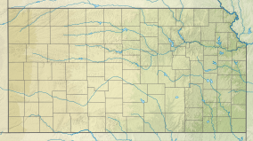
Meade State Park
Appearance
| Meade State Park | |
|---|---|
| Location | Meade, Kansas, United States |
| Coordinates | 37°10′20″N 100°27′02″W / 37.17222°N 100.45056°W |
| Area | 803 acres (325 ha) |
| Elevation | 2,474 ft (754 m)[1] |
| Established | 1927 |
| Governing body | Kansas Department of Wildlife, Parks and Tourism |
Meade State Park is a state park southwest of the city of Meade in Meade County, Kansas, United States. The park features an 80-acre (32 ha) fishing lake, swimming beach, campgrounds with both electric and non-electric sites, and two short nature trails.
See also
References
- ^ "Meade State Park". Geographic Names Information System. United States Geological Survey. 1984-07-01. Retrieved 2012-12-04.
External links

