Jump to content

Annandale and Eskdale

Coordinates: 55°09′36″N 3°13′16″W / 55.160°N 3.221°W / 55.160; -3.221
From Wikipedia, the free encyclopedia

This is an old revision of this page, as edited by Crowsus (talk | contribs) at 23:24, 18 February 2020 (→‎See also: template). The present address (URL) is a permanent link to this revision, which may differ significantly from the current revision.

55°09′36″N 3°13′16″W / 55.160°N 3.221°W / 55.160; -3.221

Annandale and Eskdale is a committee area in Dumfries and Galloway, Scotland. It covers the areas of Annandale and Eskdale, the straths of the River Annan and the River Esk respectively.

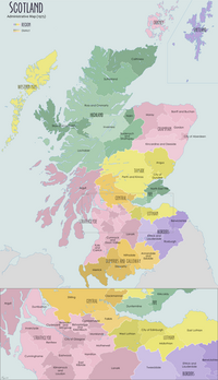
It was formerly (1975–96) a local government district in the Dumfries and Galloway region of Scotland. In 1996 it was included in the Dumfries and Galloway council area.

Places in Annandale and Eskdale

Structures in Dumfries and Galloway

See also