
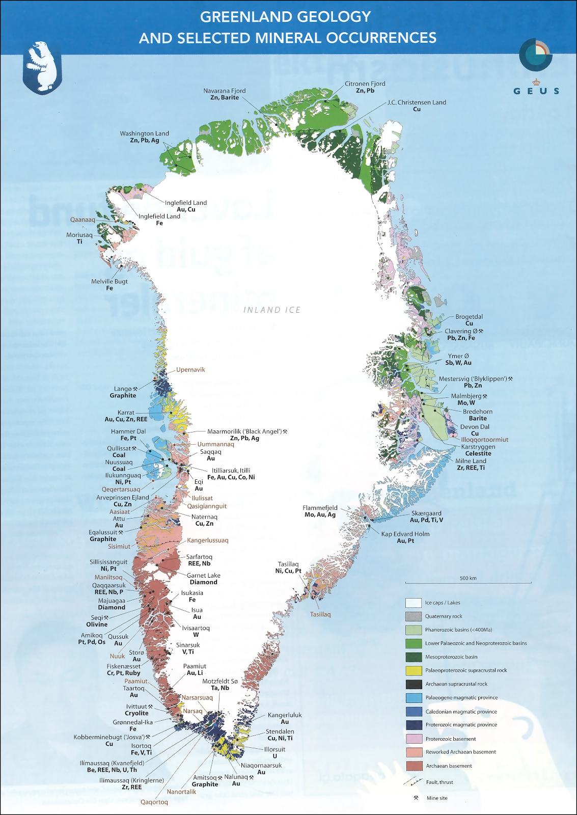
Citronen Fjord
| Citronen Fjord | |
|---|---|
 Citronen Fjord Location in Greenland | |
| Location | Arctic |
| Coordinates | 83°0′N 29°55′W / 83.000°N 29.917°W |
| Ocean/sea sources | Frederick E. Hyde Fjord Wandel Sea |
| Basin countries | Greenland |
| Max. length | 4 km (2.5 mi) |
| Max. width | 1.5 km (0.93 mi) |
| Settlements | Citronen mine |
Citronen Fjord is a fjord in Peary Land, far northern Greenland.[1]
History
In 1993 zinc and lead deposits were discovered in this fjord.[2] They are considered to be the largest yet unexploited zinc deposits in the world and the exploitation of the Citronen mine is in the preparation phase.[3] Australian Ironbark Zinc corporation and the People's Republic of China are involved in the mine projects of the Citronen Fjord.[4][5]
Geography
Citronen Fjord is an offshoot on the southern shore of Frederick E. Hyde Fjord located 45 km (28 mi) from the mouth. The fjord is roughly oriented in a north/south direction. It is only 4 km (2.5 mi) in length and here is no glacier discharging at the head of the fjord.[6]
 |
See also
References
External links
This article about a fjord in Greenland is a stub. You can help Wikipedia by expanding it. |