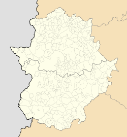
Casas de Don Pedro
Appearance
Casas de Don Pedro | |
|---|---|
| Coordinates: 39°6′20″N 5°19′51″W / 39.10556°N 5.33083°W | |
| Country | Spain |
| Autonomous community | Extremadura |
| Province | Badajoz |
| Comarca | La Siberia |
| Area | |
| • Total | 142 km2 (55 sq mi) |
| Elevation | 386 m (1,266 ft) |
| Population (2018)[1] | |
| • Total | 1,483 |
| • Density | 10/km2 (27/sq mi) |
| Time zone | UTC+1 (CET) |
| • Summer (DST) | UTC+2 (CEST) |
Casas de Don Pedro, meaning 'Lord Peter's houses', is a municipality located in the province of Badajoz, Extremadura, Spain. According to the 2014 census,[2] the municipality has a population of 1559 inhabitants.
History
At the time of the Spanish Civil War the Francoist concentration camp of Casa Zaldívar, where Spanish Republican military personnel were interned and where many were shot,[3] was located in a cortijo of this municipality.[4]
See also
References
- ^ Municipal Register of Spain 2018. National Statistics Institute.
- ^ Instituto Nacional de Estadística (INE)
- ^ Campo de Concentración de Casa Zaldívar: fusilamientos del 15 de mayo de 1939[permanent dead link]
- ^ Fernando Barrero Arzac, Historia y tragedia de la 109ª BM en el campo de Zaldívar (Badajoz)
External links
 Media related to Casas de Don Pedro at Wikimedia Commons
- SBHAC - Biografía: Andrés Barrero Rodríguez


