Rupsi Airfield
Appearance
| Rupsi Airfield | |
|---|---|
| Part of Tenth Air Force | |
| Coordinates | 26°08′28″N 089°54′25″E / 26.14111°N 89.90694°E (Approximate) |
| Type | Military airfield |
| Site information | |
| Controlled by | United States Army Air Forces |
| Site history | |
| Built | 1943 |
| In use | 1943-1945 |
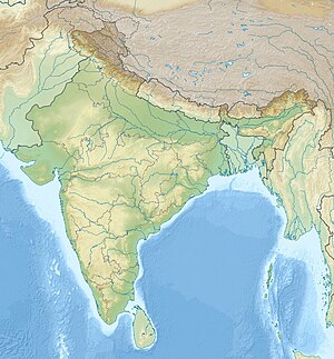
Rupsi Airfield is a former wartime United States Army Air Forces airfield in Dhubri, Assam,India used during World War II. It is now abandoned.
References
![]() This article incorporates public domain material from the Air Force Historical Research Agency
This article incorporates public domain material from the Air Force Historical Research Agency
- Maurer, Maurer. Air Force Combat Units Of World War II. Maxwell Air Force Base, Alabama: Office of Air Force History, 1983. ISBN 0-89201-092-4
- www.pacificwrecks.com - Hathazari keyword search


