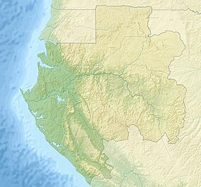
Batéké Plateau National Park
Appearance
| Batéké Plateau National Park | |
|---|---|
| Location | Haut-Ogooué Province, Gabon |
| Coordinates | 2°11′17″S 14°01′12″E / 2.188°S 14.02°E[1] |
| Area | 2,034 km2 (785 sq mi) |
| Established | 2002 |
| Governing body | National Agency for National Parks |
Batéké Plateau National Park is a national park in the Bateke Plateau,[1] southeastern Gabon covering 2,034 km2 (785 sq mi). Due to its purported universal cultural and natural significance, it was added onto the UNESCO World Heritage Tentative List on October 20, 2005.
Fauna
In 2016, a single male lion was recorded in the National Park. Genetic analysis of his hair samples revealed that is closely related to historical lion specimens from this area and the neighbouring Republic of the Congo, which grouped with lion samples from Namibia and Botswana.[2]
See also
References
- ^ a b "Plateaux Batéké in Gabon". protectedplanet.net. Retrieved 2011-09-22.
- ^ "No longer locally extinct? Tracing the origins of a lion (Panthera leo) living in Gabon". Conservation Genetics. 19 (3): 611–618. 2018. doi:10.1007/s10592-017-1039-2. PMC 6448349. PMID 31007636.
{{cite journal}}: Cite uses deprecated parameter|authors=(help)
External links
- Wildlife Conservation Society
- Virtual Tour of the National Parks
- Parc national des Plateaux Batéké - UNESCO World Heritage Centre Retrieved on 2009-03-19.

