Jump to content

Mwagna National Park

Coordinates: 0°36′N 12°42′E / 0.600°N 12.700°E / 0.600; 12.700
From Wikipedia, the free encyclopedia

This is an old revision of this page, as edited by Ser Amantio di Nicolao (talk | contribs) at 02:35, 26 April 2020 (External links: add authority control). The present address (URL) is a permanent link to this revision, which may differ significantly from the current revision.

Mwagna National Park
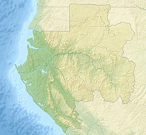
Map showing the location of Mwagna National Park
LocationGabon
Coordinates0°36′N 12°42′E / 0.600°N 12.700°E / 0.600; 12.700
Area1,160 km²
Governing bodyNational Agency for National Parks

Mwagna National Park (also Mwangné National Park) is a national park in Gabon. It covers an area of 1,160 km².[1]

References

  1. ^ [1] Archived 2015-11-17 at the Wayback Machine, Retrieved on November 15, 2015