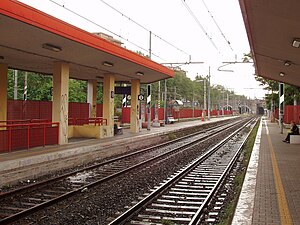
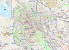
Roma Nomentana railway station
Appearance
Roma Nomentana | |||||
|---|---|---|---|---|---|
 | |||||
| General information | |||||
| Location | Italy | ||||
| Coordinates | 41°55′57″N 12°31′25″E / 41.93250°N 12.52361°E | ||||
| Owned by | Rete Ferroviaria Italiana | ||||
| Line(s) | Firenze–Roma Roma–Pescara | ||||
| Distance | |||||
| Platforms | 4 | ||||
| History | |||||
| Opened | 25 November 1983 | ||||
| |||||
The Roma Nomentana railway station is a railway station in Rome located between the African quarter and the neighborhood Monte Sacro, connected to each other by a pedestrian underpass.The station and exchange car park can be accessed from via Valle d'Aosta, a road located between Via Nomentana and via delle Valli.
History
The station was opened on 25 November 1983.[1]
References
- ^ Cruciani, op. cit., p. 23
External links
![]() Media related to Roma Nomentana railway station at Wikimedia Commons
Media related to Roma Nomentana railway station at Wikimedia Commons


