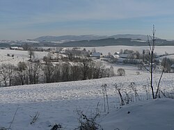
Hanušovice Highlands

Hanušovická vrchovina (German: Hannsdorfer Bergland) is a highland area, part of Eastern Sudetes mountain range that runs between Poland and the Czech Republic. It is named after Hanušovice town in the latter nation. The area is 793 km² and its average elevation is 527.2 meters. The highest peak is Jeřáb (1,003 meters above sea level). The highlands mostly consists of crystallized slate and Paleozoic folded sediments with Neogene and Quaternary sediments in lower parts. Isolated rocks often occur on highland peaks.
49°58′59.51″N 16°59′21.55″E / 49.9831972°N 16.9893194°E

