Bazaruto Island Airport
Appearance
Bazaruto Island Airport | |||||||||||
|---|---|---|---|---|---|---|---|---|---|---|---|
| Summary | |||||||||||
| Airport type | Public | ||||||||||
| Owner | Aeroportos de Moçambique[citation needed] | ||||||||||
| Location | Bazaruto Island | ||||||||||
| Coordinates | 21°32′34″S 35°28′22″E / 21.54278°S 35.47278°E | ||||||||||
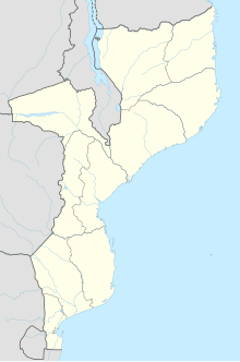
| Map | |||||||||||
 | |||||||||||
| Runways | |||||||||||
| |||||||||||
Bazaruto Island Airport (IATA: BZB) is an airport serving Bazaruto Island, Bazaruto Archipelago, Mozambique, and the Bazaruto National Park.
See also
[edit]References
[edit]- ^ Airport information for Bazaruto Island Airport at Great Circle Mapper.
- ^ Google Maps
- Google Earth
- OpenMaps maps
- Mozambique National Parks
External links
[edit]

