Międzyzdroje Pier
Appearance
 Międzyzdroje Pier panorama | |
| Type | Recreational pier |
|---|---|
| Official name | Molo w Międzyzdrojach |
| Characteristics | |
| Total length | 395 metres (1,296 ft) |
| History | |
| Opening date | 1996 (1895) |
| Coordinates | 53°34′N 14°16′E / 53.56°N 14.26°E |
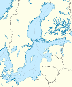
Międzyzdroje Pier (Template:Lang-pl) is a pier 395 metres long, stretching out into the Baltic Sea from the beach in Międzyzdroje, West Pomeranian Voivodeship, Poland.[1] The pier also functions as a harbour.[2]
Construction
The pier is made of reinforced concrete, on the Island of Wolin, Poland. The structure extends into the Bay of Pomerania, in the north-west direction from the beach in Międzyzdroje. The pier is located close by to the amphitheatre in the central part of Międzyzdroje Beach. The entrance onto the pier is marked by two white towers.[3]
References
- ^ "The length of the Międzyzdroje Pier". Wyborcza. Retrieved 5 October 2015.
- ^ "URZĄD MORSKI W SZCZECINIE". UMS. Retrieved 5 October 2015.
- ^ "Międzyzdroje Pier". Międzyzdroje. Retrieved 5 October 2015.


