
Sool
Sool | |
|---|---|
 | |
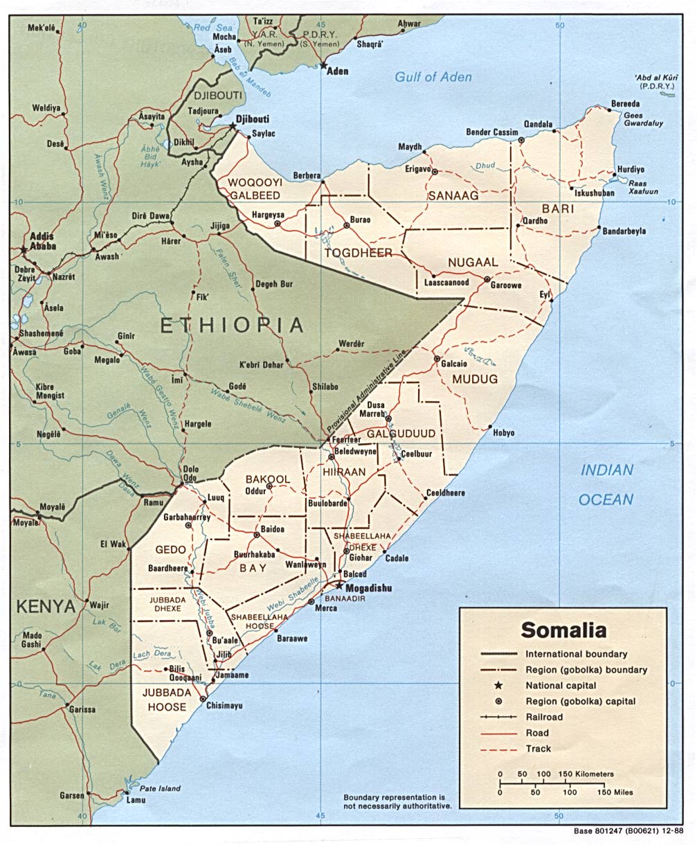
 Location in Somalia. | |
| Country | |
| Capital | Las Anod |
| Government | |
| • Type | |
| • Governor | Abdiqani Mohamoud Jidhe |
| Population (2014) | |
| • Total | 327,428 [1] |
| Time zone | UTC+3 (EAT) |
| HDI (2017) | 0.327[2] low · 8th |
Sool (Somali: Sool, Arabic: سول) is an administrative region in Somalia.
History
With its capital at Las Anod, Sool was historically the seat of the anti-colonial Dervish (Darwiish) movement.
Districts
The Sool region consists of 4 districts.[3]
Territorial dispute
Under the government of Siad Barre, Sool was not a separate region but part of the larger Nugaal province, with its capital at Garowe. It was separated from Nugaal in the 1980s, with its new capital at Lasanod.[4] From 2003 until October 2007, Sool was administered by Puntland, a territory with a similar clan composition.[5] In 2007, forces from Somaliland assumed control of the region.
In the late 2000s, HBM-SSC (Hoggaanka Badbaadada iyo Mideynta SSC), a local unionist opposition group whose goal is to establish its own regional administration (Sool, Sanaag and Cayn or SSC), was formed.[5] The group engaged with talks with the government of Somaliland which resulted in their participation in the political process, and as a result of the negotiations SSC has been included in the current government of Somaliland [6]
See also
References
- ^ [1]
- ^ "Sub-national HDI - Area Database - Global Data Lab". hdi.globaldatalab.org. Retrieved 13 September 2018.
- ^ "Sool Region" (PDF). Retrieved 30 December 2013.
- ^ "Somalia (1988)". CIA. December 1988. Retrieved 21 February 2007.
- ^ a b Somaliland’s Quest for International Recognition and the HBM-SSC Factor
- ^ "Somaliland.org". Retrieved 26 February 2017.
External links
8°23′46″N 47°41′29″E / 8.39611°N 47.69139°E
This Somaliland location article is a stub. You can help Wikipedia by expanding it. |