Dangʻara
Appearance
Dangʻara | |
|---|---|
Urban-type settlement | |
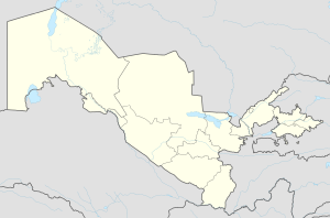
| Coordinates: 40°34′59″N 70°54′36″E / 40.58306°N 70.91000°E | |
| Country | |
| Region | Fergana Region |
| District | Dangʻara District |
| Urban-type settlement status | 1979 |
| Population (2000) | |
| • Total | 8,800 |
| Time zone | UTC+5 (UZT) |
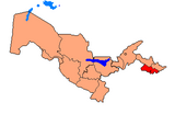
Dangʻara (Template:Lang-uz, Russian: Дангара) is an urban-type settlement in Fergana Region, Uzbekistan. It is the administrative center of Dangʻara District. The town population in 1989 year was 7983 people.[1]
References
- ^ Population census-1989 Archived 2012-02-04 at WebCite


