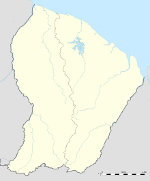
Grand-Santi Airport
Appearance
Grand-Santi Airport | |||||||||||
|---|---|---|---|---|---|---|---|---|---|---|---|
| Summary | |||||||||||
| Operator | Conseil Général de la Guyane | ||||||||||
| Serves | Grand-Santi, French Guiana | ||||||||||
| Elevation AMSL | 185 ft / 56 m | ||||||||||
| Coordinates | 4°17′05″N 54°22′40″W / 4.28472°N 54.37778°W | ||||||||||
| Map | |||||||||||
 | |||||||||||
| Runways | |||||||||||
| |||||||||||
Grand-Santi Airport (IATA: GSI, ICAO: SOGS) is an airport serving the Lawa River port of Grand-Santi, a commune of French Guiana. The airport is 1 kilometre (0.62 mi) east of the river, which forms the border with Suriname.
Airlines and destinations
| Airlines | Destinations |
|---|---|
| Air Guyane Express | Cayenne, Maripasoula, Saint-Laurent du Maroni[3] |
See also
References
- ^ SkyVector - Grand-Santi
- ^ Google Maps - Grand-Santi Airport
- ^ "Air Guyane Express". Retrieved 23 August 2010.
External links
- OpenStreetMaps - Grand-Santi
- OurAirports - Grand-Santi Airport
- GCM - Grand-Santi
- Accident history for SOGS at Aviation Safety Network

