
Emajagua
Emajagua | |
|---|---|
Barrio | |
 Túnel Vicente Morales Lebrón in Emajagua | |
 Location of Emajagua within the municipality of Maunabo shown in red | |
 Emajagua Location of Puerto Rico | |
| Coordinates: 18°00′18″N 65°52′37″W / 18.005136°N 65.876821°W[1] | |
| Commonwealth | |
| Municipality | |
| Area | |
| • Total | 5.76 sq mi (14.9 km2) |
| • Land | 4.14 sq mi (10.7 km2) |
| • Water | 1.62 sq mi (4.2 km2) |
| Elevation | 59 ft (18 m) |
| Population (2010) | |
| • Total | 4,538 |
| • Density | 1,096.1/sq mi (423.2/km2) |
| Source: 2010 Census | |
| Time zone | UTC−4 (AST) |
Emajagua is a barrio in the municipality of Maunabo, Puerto Rico with a population of 4,538 in 2010.[3]
History
The United States took control of Puerto Rico from Spain in the aftermath of the Spanish-American War under the terms of the Treaty of Paris of 1898. In 1899, the United States conducted its first census of Puerto Rico finding that the population of Emajagua barrio was 828.[4]
Gallery
-
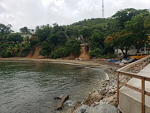 Villa Pesquera in Emajagua
 -
 The Villa Pesquera parking area
 -
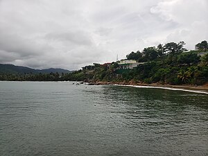 View of Villa Pesquera from the pier


See also
References
- ^ a b "US Gazetteer 2019". US Census. US Government.
- ^ U.S. Geological Survey Geographic Names Information System: Emajagua barrio
- ^ Puerto Rico:2010:population and housing unit counts.pdf (PDF). U.S. Dept. of Commerce, Economics and Statistics Administration, U.S. Census Bureau. 2010.
- ^ Joseph Prentiss Sanger; Henry Gannett; Walter Francis Willcox (1900). Informe sobre el censo de Puerto Rico, 1899, United States. War Dept. Porto Rico Census Office (in Spanish). Imprenta del gobierno. p. 163.
This Puerto Rican location article is a stub. You can help Wikipedia by expanding it. |