Alnwickhill
| Alnwickhill | |
|---|---|
 | |
Location within Edinburgh | |
| OS grid reference | NT271688 |
| Council area | |
| Lieutenancy area |
|
| Country | Scotland |
| Sovereign state | United Kingdom |
| Post town | EDINBURGH |
| Postcode district | EH16 |
| Dialling code | 0131 |
| Police | Scotland |
| Fire | Scottish |
| Ambulance | Scottish |
| UK Parliament | |
| Scottish Parliament | |
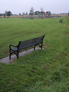
Alnwickhill is a suburb of Edinburgh, the capital of Scotland. It is on the southern edge of the city, approximately 4 miles (6.4 km) from the city centre. It neighbours the areas of Liberton and Kaimes.
The area is now primarily residential, but was the site of Backside Lee Farm until the 1970s when the land was sold to Crudens for development.[1]
References
- ^ "Alnwickhill History". alnwickhillpa.org. Alnwickhill PA. Archived from the original on 11 August 2015. Retrieved 13 May 2015.


