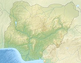
Akure Forest Reserve
Appearance
| Akure Forest Reserve | |
|---|---|
IUCN category V (protected landscape/seascape) | |
Map of Nigeria | |
| Location | Ondo State, Nigeria |
| Nearest city | Akure |
| Coordinates | 7°17′46″N 5°01′48″E / 7.296°N 5.03°E[1] |
| Area | 66 km2 (25 sq mi) |
Akure Forest Reserve is a protected area in southwest Nigeria, covering 66 km2 (25 sq mi).[2]
References
- ^ "Akure Forest Reserve". protectedplanet.net.
- ^ World Database on Protected Areas[permanent dead link]

