
Arrondissement of Namur
Arrondissement of Namur
Arrondissement de Namur | |
|---|---|
 Location of the arrondissement in Namur | |
| Coordinates: 50°30′N 4°54′E / 50.5°N 4.9°E | |
| Country | |
| Region | |
| Province | |
| Municipalities | 16 |
| Area | |
| • Total | 1,164.85 km2 (449.75 sq mi) |
| Population (1 January 2017) | |
| • Total | 110,335 |
| • Density | 95/km2 (250/sq mi) |
| Time zone | UTC+1 (CET) |
| • Summer (DST) | UTC+2 (CEST) |
| ISO 3166 code | BE.NA.NM |
The Arrondissement of Namur (French: Arrondissement de Namur) is one of the three administrative arrondissements in the Province of Namur, Belgium. It is both an administrative and a judicial arrondissement. The territory of the Judicial Arrondissement of Namur coincides with that of the Administrative Arrondissement of Namur.
Municipalities
The Administrative Arrondissement of Namur consists of the following municipalities:
|
|
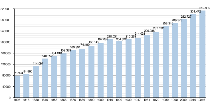
Demography
| Judicial area of Antwerp | |
|---|---|
| Judicial area of Brussels | |
| Judicial area of Ghent | |
| Judicial area of Liège | |
| Judicial area of Mons | |