Barra Mansa
Appearance
Barra Mansa, Rio de Janeiro | |
|---|---|
Municipality | |
 | |
 | |
| Coordinates: 22°32′38″S 44°10′15″W / 22.54389°S 44.17083°W | |
| Country | |
| Region | Southeast |
| State | Rio de Janeiro |
| Founded | 1832 |
| Area | |
• Total | 547.23 km2 (211.29 sq mi) |
| Elevation | 389 m (1,276 ft) |
| Population (2009) | |
• Total | 176,889 |
| • Density | 320/km2 (840/sq mi) |
| Time zone | UTC-3 (UTC-3) |
| • Summer (DST) | UTC-2 (UTC-2) |
| Postal Code | 27355 |
| Area code | +55 24 |
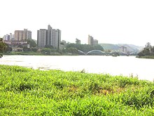
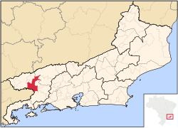
Barra Mansa (Portuguese pronunciation: [ˈbaʁɐ ˈmɐ̃sɐ]) (translation: Gentle [river] Bar) is a municipality located in the Brazilian state of Rio de Janeiro. Its population was 175,328 (2005) and its area is 547 km².[1]
References
- ^ IBGE - "Archived copy". Archived from the original on 2007-01-09. Retrieved 2014-08-03.
{{cite web}}: Unknown parameter|deadurl=ignored (|url-status=suggested) (help)CS1 maint: archived copy as title (link)


