Damongo
Damongo | |
|---|---|
District Capital | |
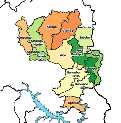
Location of Damongo in Northern region | |
| Coordinates: 9°05′N 1°49′W / 9.083°N 1.817°W | |
| Region | Northern Region |
| District | West Gonja District |
| Elevation | 712 ft (217 m) |
| Population (2013) | |
| • Total | — |
| Time zone | GMT |
| • Summer (DST) | GMT |
Damongo is a town and the capital of West Gonja district, a district in the Northern Region of northern Ghana.[1] Damongo hosts the Overloard of the Gonja Kingdom; The Yagbonwura. It is also the capital (biggest town) in the Damongo Constituency whose current MP is Hon. Adam Mutawakilu.
Damongo boast of key tourist attractions like the Mole National Park where visitors are assured of seeing a myriad of animals chief among which being elephants, the Larabanga Mosque and Mystic Stone with all the ancient stories surrounding their onset.
Prominent Ghanaians that were either born in or come from Damongo include HE JOHN Dramani Mahama (former President of the Ghana), Hon Alban S Begin (The Second Deputy Speaker of Parliament), Hon Benjamin Kumbour (former Minister of Defence), Dr Abu Sakara Foster (former Presidential candidate of CPP).
Education
The town of Damongo is an educational hub for a town of its size. Aside the many basic schools, Damongo has 3 senior high schools: the Damongo Senior High School, Ndewura Jakpa Secondary Technical High School, St Annes Girls Senior High School.[2] [3] There is also the Damongo Agricultural Collage and the Damongo Health Assistant School.
References
- ^ West Gonja district
- ^ "References » Schools/Colleges". www.modernghana.com. Retrieved 12 August 2011.
- ^ "List of Secondary Schools in Ghana". www.ghanaschoolsnet.com/. Retrieved 12 August 2011.


