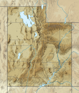
Davis Lakes
Appearance
| Davis Lakes | |
|---|---|
| Location | Near the northern edge of Duchesne County, Utah, United States |
| Type | Alpine lakes |
| Primary inflows | Uinta River |
| Basin countries | United States |
| Surface elevation | 11,020 feet (3,360 m) |
Davis Lakes is a group of lakes near the northern edge of Duchesne County, Utah, United States.[1]
Description
[edit]The lakes are in the High Uintas Wilderness within the Ashley National Forest at the headwaters of the Uinta River at an elevation of 11,020 feet (3,360 m).[1][2][3]
Davis Lakes were named for Bob Davis, an early guide in the area and was the first to stock fish in the lakes.[3]
See also
[edit]References
[edit]- ^ a b "Davis Lakes". Geographic Names Information System. United States Geological Survey, United States Department of the Interior.
- ^ "MyTopo Maps - Davis Lakes, Utah, USA" (Map). mytopo.com. Trimble Navigation, Ltd. Retrieved 17 Feb 2018.
- ^ a b Van Cott, John W. (1990). Utah Place Names: A Comprehensive Guide to the Origins of Geographic Names: A Compilation. Salt Lake City: University of Utah Press. p. 104. ISBN 978-0-87480-345-7. OCLC 797284427. Retrieved 11 Feb 2018.
40°48′46″N 110°13′20″W / 40.81278°N 110.22222°W

