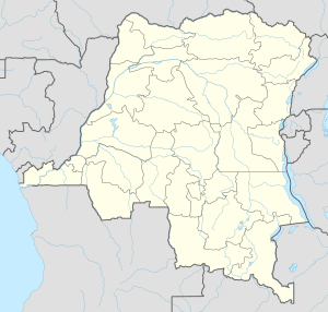
Demba, Democratic Republic of the Congo
Appearance
Demba | |
|---|---|
| Coordinates: 5°30′S 22°16′E / 5.500°S 22.267°E | |
| Country | |
| Province | Kasai-Occidental |
| District | Lulua District |
| Population (2009) | |
• Total | 25,384 |
| Time zone | UTC+1 (Kinshasa Time) |
| Climate | Aw |
Demba is a town in Lulua District in the southern part of the Democratic Republic of the Congo. As of 2009 it had an estimated population of 25,384.[1]
Transport
Demba is served by the national railway system.
See also
References
- ^ "Congo (Dem. Rep.): largest cities and towns and statistics of their population". World Gazetteer. Archived from the original on May 22, 2011. Retrieved January 21, 2009.
{{cite web}}: Unknown parameter|deadurl=ignored (|url-status=suggested) (help)

