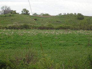
Esker


Eskers are long, winding ridges of stratified sand and gravel which occur in glaciated and formerly glaciated regions of Europe and North America. They are frequently several miles in length and, because of their peculiar uniform shape, somewhat resemble railroad embankments. Eskers are the deposits left by streams which flowed within and under glaciers; after the retaining ice walls melt away, the stream deposits remain as long winding ridges.They can reach hundreds of kilometers in length.
The name 'esker is derived from the Irish word eiscir, which means: "a ridge or elevation, especially one separating two plains or depressed surfaces" (Dictionary of the Irish Language). The term was used particularly to describe long, sinuous ridges, which are now known to be deposits of fluvio-glacial material. The best-known example of such an eiscir is the Eiscir Riada, which runs the entire width of the island of Ireland from Dublin to Galway and is still closely followed by the main road linking those two cities.
The Mason Esker, at approximately 22 miles is one of the longest eskers in the U.S.[1],it is located in Mason, Michigan. It stretches from DeWitt through Lansing and Holt, finally ending in Mason.
Eskers are sometimes used for construction of highways as an economic measure. This includes the Denali Highway in Alaska and the Trans-Taiga Road in Quebec.
