Fortune Harbour
Appearance
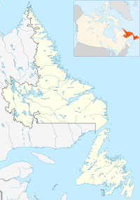
Location of Fortune Harbour in Newfoundland and Labrador
Fortune Harbour (sometimes written Fortune Harbor) is a bay and community in the province of Newfoundland and Labrador, Canada.[1]
The 1913 McAlpine Gazeteer lists the community in Twillingate district:
- "FORTUNE HARBOR, a post and money order settlement in Twillingate district. Contains postal telegraph, express, 1 store, 1 Catholic church, Bowring Bros. and Reid Nfld. steamers call during open navigation."[2]
An 1884 pilot guide discusses "Fortune harbor" in Notre Dame Bay:
- "Fortune harbor is a land-locked anchorage, situated 2 miles southeastward
of Bagg head. Two entrances are formed by Sweeny island, that to the eastward of the island being only 30 yards wide and having a depth of 12 feet at low water. The western entrance is suitable for large vessels with a commanding breeze, but the turns are sharp, the wind is often baffling in the approach, and the squalls heavy, particularly with westerly winds.[3]
References
- ^ "GeoNames - Fortune Harbour". Natural Resources Canada - Canadian Geographical Names Data Base (CGNDB). Retrieved 7 September 2008.
- ^ Newfoundland's Grand Banks - 1913 McAlpine Gazeteer - Towns, Villages and Settlements
- ^ United States Hydrographic Office (1886). Newfoundland and Labrador, 1884: Supplement No. 1.
49°30′34″N 55°14′16″W / 49.50944°N 55.23778°W
External links

