Hatzeva
Appearance
Hatzeva
| |
|---|---|
 A house in Hatzeva | |
| Coordinates: 30°46′3.72″N 35°16′48.72″E / 30.7677000°N 35.2802000°E | |
| Country | Israel |
| District | Southern |
| Council | Central Arava |
| Affiliation | Moshavim movement |
| Founded | 1968 |
| Population (2022)[1] | 723 |
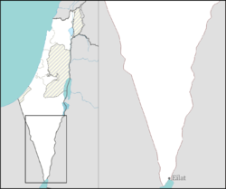
Hatzeva (Template:Lang-he-n) is a moshav in southern Israel. Located in the Arava, 12 km north of Ein Yahav, it falls under the jurisdiction of Central Arava Regional Council. In 2022 it had a population of 723.[1]
History
Hatzeva was founded in 1965 as a Nahal settlement near the Arava Road and became a moshav in 1968. It was named after the nearby Hatzeva Fortress. In 1971 its location changed slightly. Near the moshav's access road lies the Hatzeva field school (Gidron), located where the moshav was until 1971.[2]
References
Wikimedia Commons has media related to Hazeva.
- ^ a b "Regional Statistics". Israel Central Bureau of Statistics. Retrieved 21 March 2024.
- ^ Mapa's concise gazetteer of Israel (in Hebrew). Yuval El'azari (ed.). Tel-Aviv: Mapa Publishing. 2005. p. 192. ISBN 965-7184-34-7.
{{cite book}}: CS1 maint: others (link)

