
Ibanda
- Ibanda is also a town in mbarara, uganda
Ibanda | |
|---|---|
| District | Ibanda District |
| Elevation | 1,400 m (4,600 ft) |
| Population (2011 Estimate) | |
| • Total | 28,500 |
| Time zone | UTC+3 (EAT) |
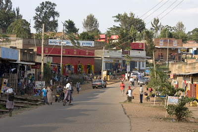
Ibanda is a town in Western Uganda. It is the 'chief town' of Ibanda District and the district headquarters are located there. The district was named after the town.
Location
Ibanda is located approximately 70 kilometres (43 mi), by road, northwest of Mbarara, the largest city in the sub-region.[1] The coordinates of the town are:00 07 12S, 30 30 00E (Latitude:-0.1200; Longitude:30.5000).
Population
The 2002 national census estimated the population of Ibanda at 24,728. In 2008, the Uganda Bureau of Statistics (UBOS), estimated the population of the town at 26,400.[2] In 2011, UBOS estimated the mid-year population of Ibanda at 28,500.[3]
Landmarks
The landmarks in Ibanda town and close to its borders include:
- The headquarters of Ibanda District
- Ibanda Hospital - A community hospital administered by the Roman Catholic Archdiocese of Mbarara
- A branch of Centenary Bank
- A branch of Stanbic Bank