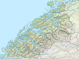
Isfjorden (fjord in Møre og Romsdal)
Appearance
| Isfjorden | |
|---|---|
 View of the fjord | |
Location in Møre og Romsdal county | |
| Location | Romsdal, Møre og Romsdal |
| Coordinates | 62°32′N 7°39′E / 62.54°N 7.65°E |
| Primary outflows | Romsdal Fjord |
| Basin countries | Norway |
| Max. length | 6.5 kilometres (4.0 mi) |
| Settlements | Åndalsnes, Isfjorden |
Isfjorden is a branch of Romsdal Fjord in Rauma Municipality in Møre og Romsdal county, Norway. The 6.5-kilometre (4.0 mi) long fjord stretches past the town of Åndalsnes and ends at the village of Isfjorden. The Norwegian County Road 64 runs around the whole fjord. The Rauma Line has its terminus at the railway port in the town of Åndalsnes, on the southern coast of the fjord.[1][2]
History
During the Battle of Kringen in 1612, Scottish forces sailed into the Isfjorden, landed, and then proceeded to march towards the Romsdalen valley.
References
- ^ "Isfjorden" (in Norwegian). yr.no. Retrieved 2010-10-30.
- ^ Store norske leksikon. "Isfjorden – tettsted i Rauma kommune" (in Norwegian). Retrieved 2013-05-29.

