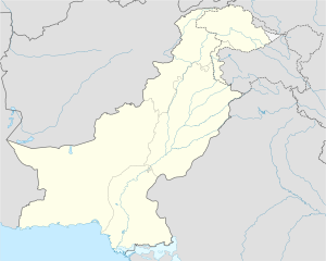
Jamalpur, Pakistan
Appearance
Jamalpur | |
|---|---|
| Coordinates: 29°39′50″N 70°25′20″E / 29.66389°N 70.42222°E | |
| Country | |
| Province | Punjab |
| Time zone | UTC+5 (PST) |
Jamalpur (Template:Lang-ur) is a Union Council of Hasilpur Tehsil, Bahawalpur District, Punjab, Pakistan.[1][2] The Sutlej River flows through it. Main crops grown here are cotton, wheat, sugarcane and also animal rearing.
References
- ^ Tehsils & Unions in the District of Bahawalpur - Government of Pakistan
- ^ Hasilpur library


