Juna Downs
22°53′07″S 118°29′14″E / 22.8853°S 118.4872°E Juna Downs Station, often referred to as Juna, is a pastoral lease that operates as a cattle station.
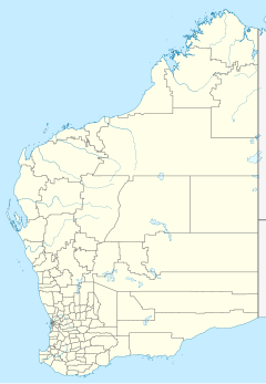
It is located about 75 kilometres (47 mi) east of Tom Price and 140 kilometres (87 mi) north west of Newman in the Pilbara region of Western Australia. The station's western boundary abuts Karijini National Park,[1] and access to Western Australia's highest point, Mount Meharry, is through the boundaries of the station.[2]
The mining company Hamersley Iron, a part of Rio Tinto, currently own Juna. Rio Tinto own another five stations in the Pilbara, including Yarraloola, Hamersley and Rocklea. Collectively the properties run a herd of approximately 24,000 cattle.[3]
The Pandjima peoples are the traditional owners of the area in which Juna Downs is located. The last Aboriginal to live or work on the property left in the 1960s.
The lessee of the property in 1983 was Matt Herbert.[4] The Herbert family later sold the property to Rio Tinto.[5]
See also
References
- ^ "Karijini National Park" (PDF). Department of Conservation and Land Management. Retrieved 13 December 2015.
- ^ "Juna Downs". Australian Explorer. Retrieved 13 December 2015.
- ^ "Operations". Rio Tinto. 2013. Retrieved 13 December 2015.
- ^ "My father's father was Wirrilimarra (Bob Tucker)" (PDF). Retrieved 13 December 2015.
- ^ Rhianna King (23 November 2013). "Mining contractor buys Stowe farm". The West Australian. Yahoo 7. Retrieved 13 December 2015.

