Kartal, Hungary
Appearance
Kartal | |
|---|---|
Village (község) | |
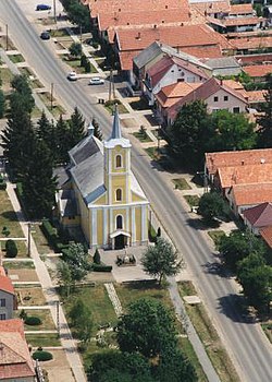
 Aerial photo of Kartal | |
 Location of Pest County in Hungary | |
Location of Kartal in Hungary | |
| Coordinates: 47°43′01″N 19°31′42″E / 47.71694°N 19.52833°E | |
| Country | |
| Region | Central Hungary |
| County | Pest County |
| Subregion | Aszód |
| Government | |
| • Mayor | Sándor Kanyó |
| Area | |
| • Total | 29.11 km2 (11.24 sq mi) |
| Elevation | 159 m (522 ft) |
| Population (1 Jan. 2014) | |
| • Total | 5 622 |
| • Density | 203.06/km2 (525.9/sq mi) |
| Postal code | 2173 |
| Area code | 28 |
| Website | http://www.kartal.hu/ |
Kartal is a village in Pest County, Central Hungary Region, Hungary.


