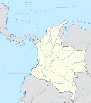
La Linda, Antioquia
Appearance
This article has multiple issues. Please help improve it or discuss these issues on the talk page. (Learn how and when to remove these messages)
|
La Linda | |
|---|---|
Location in Valle del Cauca and Colombia | |
| Coordinates: 5°57′0″N 75°17′0″W / 5.95000°N 75.28333°W | |
| Country | |
| Department | Antioquia |
| Municipality | El Carmen de Viboral municipality |
| Elevation | 8,600 ft (2,620 m) |
| Time zone | UTC-5 (Colombia Standard Time) |
La Linda is a settlement in El Carmen de Viboral Municipality, Antioquia Department in Colombia.
Climate
[edit]La Linda has a mild and very wet subtropical highland climate (Köppen Cfb).
| Climate data for La Linda | |||||||||||||
|---|---|---|---|---|---|---|---|---|---|---|---|---|---|
| Month | Jan | Feb | Mar | Apr | May | Jun | Jul | Aug | Sep | Oct | Nov | Dec | Year |
| Mean daily maximum °C (°F) | 18.2 (64.8) |
18.5 (65.3) |
18.7 (65.7) |
18.2 (64.8) |
18.3 (64.9) |
18.5 (65.3) |
18.4 (65.1) |
18.5 (65.3) |
18.4 (65.1) |
17.7 (63.9) |
17.7 (63.9) |
17.7 (63.9) |
18.2 (64.8) |
| Daily mean °C (°F) | 13.6 (56.5) |
13.9 (57.0) |
14.2 (57.6) |
13.9 (57.0) |
14.1 (57.4) |
14.1 (57.4) |
13.6 (56.5) |
13.7 (56.7) |
13.7 (56.7) |
13.4 (56.1) |
13.4 (56.1) |
13.5 (56.3) |
13.8 (56.8) |
| Mean daily minimum °C (°F) | 9.1 (48.4) |
9.4 (48.9) |
9.7 (49.5) |
9.7 (49.5) |
9.9 (49.8) |
9.7 (49.5) |
8.9 (48.0) |
8.9 (48.0) |
9.0 (48.2) |
9.2 (48.6) |
9.2 (48.6) |
9.3 (48.7) |
9.3 (48.8) |
| Average rainfall mm (inches) | 234.8 (9.24) |
270.2 (10.64) |
345.2 (13.59) |
466.2 (18.35) |
485.4 (19.11) |
495.4 (19.50) |
381.2 (15.01) |
475.2 (18.71) |
555.2 (21.86) |
390.8 (15.39) |
316.2 (12.45) |
273.8 (10.78) |
4,689.6 (184.63) |
| Average rainy days | 21 | 19 | 21 | 25 | 26 | 20 | 16 | 18 | 23 | 24 | 22 | 21 | 256 |
| Source: [1] | |||||||||||||
References
[edit]


