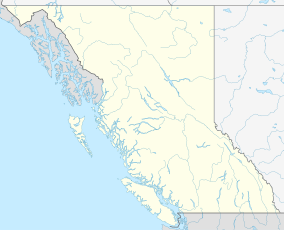
Lower Skeena River Provincial Park
Appearance
| Lower Skeena River Provincial Park | |
|---|---|
| Location | British Columbia, Canada |
| Nearest city | Terrace, British Columbia |
| Coordinates | 54°18′00″N 129°20′38″W / 54.3°N 129.344°W[1] |
| Area | 582 hectares (1,440 acres)[1] |
| Governing body | BC Parks |
| Official website | |
Lower Skeena River Provincial Park is a provincial park in British Columbia, Canada.[1]
References
- ^ a b c "Lower Skeena River Provincial Park". BC Parks. Retrieved 1 September 2014.

