Mataje
Appearance
Mataje | |
|---|---|
| Coordinates: 1°21′43.8″N 78°42′57.3″W / 1.362167°N 78.715917°W | |
| Country | |
| Department | Nariño |
| Municipality | Tumaco municipality |
| Elevation | 115 ft (35 m) |
| Population (2010) | |
| • Total | 1,475 |
| Time zone | UTC-5 (Colombia Standard Time) |
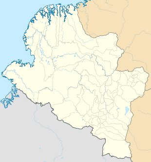
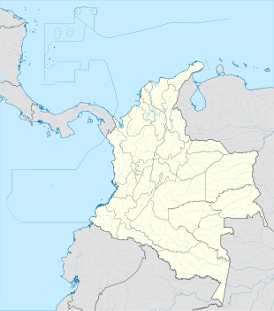
Mataje is a village in Tumaco Municipality, Nariño Department in Colombia at the border with Ecuador.
Climate
[edit]Mataje has a wet tropical rainforest climate (Af).
| Climate data for Mataje | |||||||||||||
|---|---|---|---|---|---|---|---|---|---|---|---|---|---|
| Month | Jan | Feb | Mar | Apr | May | Jun | Jul | Aug | Sep | Oct | Nov | Dec | Year |
| Mean daily maximum °C (°F) | 29.6 (85.3) |
30.0 (86.0) |
30.2 (86.4) |
30.2 (86.4) |
29.8 (85.6) |
29.5 (85.1) |
29.5 (85.1) |
29.2 (84.6) |
29.1 (84.4) |
29.1 (84.4) |
29.0 (84.2) |
29.1 (84.4) |
29.5 (85.2) |
| Daily mean °C (°F) | 25.7 (78.3) |
26.0 (78.8) |
26.2 (79.2) |
26.2 (79.2) |
26.0 (78.8) |
25.7 (78.3) |
25.6 (78.1) |
25.3 (77.5) |
25.3 (77.5) |
25.4 (77.7) |
25.3 (77.5) |
25.5 (77.9) |
25.7 (78.2) |
| Mean daily minimum °C (°F) | 21.8 (71.2) |
22.0 (71.6) |
22.3 (72.1) |
22.3 (72.1) |
22.3 (72.1) |
22.0 (71.6) |
21.7 (71.1) |
21.5 (70.7) |
21.6 (70.9) |
21.8 (71.2) |
21.7 (71.1) |
21.9 (71.4) |
21.9 (71.4) |
| Average rainfall mm (inches) | 390.2 (15.36) |
327.0 (12.87) |
331.1 (13.04) |
408.4 (16.08) |
496.5 (19.55) |
303.5 (11.95) |
189.8 (7.47) |
139.6 (5.50) |
172.3 (6.78) |
163.9 (6.45) |
131.8 (5.19) |
264.3 (10.41) |
3,318.4 (130.65) |
| Average rainy days | 23 | 21 | 20 | 24 | 26 | 24 | 22 | 18 | 20 | 20 | 16 | 21 | 255 |
| Source: [1] | |||||||||||||
References
[edit]


