Middle Bass-East Point Airport
Appearance
Middle Bass-East Point Airport | |||||||||||
|---|---|---|---|---|---|---|---|---|---|---|---|
| Summary | |||||||||||
| Airport type | Private | ||||||||||
| Owner | East Point Associates, Inc. | ||||||||||
| Elevation AMSL | 582 ft / 177 m | ||||||||||
| Coordinates | 41°41′40″N 082°47′47.6″W / 41.69444°N 82.796556°W | ||||||||||
| Map | |||||||||||
 | |||||||||||
| Runways | |||||||||||
| |||||||||||
| Statistics | |||||||||||
| |||||||||||
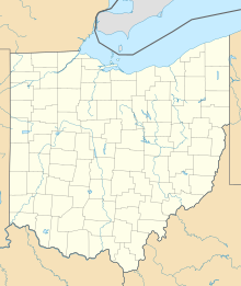
Middle Bass-East Point Airport (FAA LID: 3W9) is a private airport located on Middle Bass Island, Ohio, United States. It is owned and operated by East Point Associates, Inc.[1]
Facilities and aircraft
[edit]Middle Bass-East Point Airport covers an area of 14 acres (5.7 ha) which contains one runway designated 09/27 with a 2,085 ft × 67 ft (636 m × 20 m) turf pavement. For the 12-month period ending July 11, 2013, the airport had 1,300 aircraft operations, of which 1,200 of them were general aviation and 100 were air taxi.[1]
See also
[edit]References
[edit]- ^ a b c FAA Airport Form 5010 for 3W9 PDF, effective 2013-07-11
External links
[edit]- Resources for this airport:
- FAA airport information for 3W9
- AirNav airport information for 3W9
- FlightAware airport information and live flight tracker
- SkyVector aeronautical chart for 3W9

