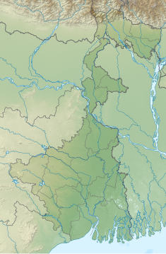
Mukutmanipur Dam
| Mukutmanipur Dam | |
|---|---|
 Mukutmanipur Dam | |
| Location | Bankura District, West Bengal, India |
| Coordinates | 22°58′15″N 86°46′14″E / 22.970751°N 86.770426°E |
| Dam and spillways | |
| Impounds | Kangsabati River |
| Length | 10,098 metres (33,130 ft) |
| Width (base) | 38 metres (125 ft) |
The Mukutmanipur Dam is a dam in Khatra subdivision of Bankura district in the state of West Bengal, India.
The Kangsabati River (also variously known as the Kasai and Cossye) rises from the Chota Nagpur Plateau in West Bengal, and passes through the districts of Purulia, Bankura and Paschim Medinipur district in West Bengal before draining in the Bay of Bengal, 2 kilometres (1.2 mi) from Mukutmonipur. It is the second largest earthen dam in India.
The road over the dam is 11 kilometres (6.8 mi) in length. In the middle there is a small hillock called Paresnath hill where several statues of Jain and Hindu deities are kept in open air. These statues are recovered during digging while the dam was built. There is another Jain statue lying at the bottom of the Pareshnath hill.[1]

References
- ^ "Kangsabati Dam, Mukutmanipur". Retrieved 6 January 2017.

