Svätuše
Appearance

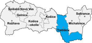
Svätuše (Template:Lang-hu) is a village and municipality in the Trebišov District in the Košice Region of south-eastern Slovakia.
History
In historical records the village was first mentioned in 1245.
Geography
The village lies at an elevation of 120 metres (390 ft) above sea level and covers an area of about 10.2 square kilometres (3.9 sq mi). It has a population of about 900 people.
Ethnicity
The village is about 95% Hungarian, 4% Slovak and 1% Ukrainian and Czech.
Facilities
The village has a public library and a soccer pitch.
