Tin-Essako Cercle
Tin-Essako | |
|---|---|
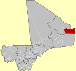
 Tin-Essako Cercle in Mali | |
| Country | |
| Region | Kidal Region |
| Main village (Chef-lieu) | Tin-Essako |
| Area | |
| • Total | 39,000 km2 (15,000 sq mi) |
| Population (2009 census) | |
| • Total | 7,976 |
| • Density | 0.20/km2 (0.53/sq mi) |
| Time zone | UTC+0 (GMT) |
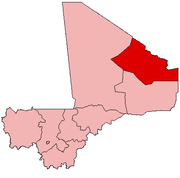
Tin-Essako Cercle is an administrative subdivision of the Kidal Region of Mali. The administrative center (chef-lieu) is at the village of Tin-Essako. In the 2009 census the cercle had a population of 7,976 people.[2] The cercle is the least populated in Mali and has an extreme Saharian climate.
Communes
Tin-Essako Cercle contains the following two rural communes:[3]
References
- ^ Synthèsis des Plans de Securité Alimentaire des Commune du Cercle de Tin Essako 2007-2011 (PDF) (in French), Commissariat à la Sécurité Alimentaire, République du Mali, USAID-Mali, 2007.
- ^ Resultats Provisoires RGPH 2009 (Région de Kidal) (PDF), République de Mali: Institut National de la Statistique
- ^ Communes de la Région de Kidal (PDF) (in French), Ministère de l’administration territoriale et des collectivités locales, République du Mali.


